ORBISAT
Energy

Satellite imagery for oil and gas development
Field work in hostile terrain can be costly, time-consuming and could have health, safety and environmental (HSE) implications. With accurate satellite map data, seismic planning in high dunes, mountainous or tropical areas can be mapped out before your equipment reaches the proposed development area, saving thousands or millions of dollars in development and exploration costs.
High-resolution satellite mosaics of <1 meter and 2 to 5 m provide operators with the appropriate planning tools for the design of 2D and 3D seismic surveys. By selecting good source offset locations, seismic data quality can be improved and by selecting good access to seismic lines, environmental impact and safety risks are minimized.


After retrieval of satellite images for the proposed drilling site, the interpreted geological and seismic information is complemented by the extraction of vector data, such as current positions of proposed wells, field data, geochemical data, elevation data and environmental habitats, creating a complete picture. of the possible workplace.
Satellite images can help engineers and operators:
Monitoring of corridors and rights of way for electrical and gas transmission
Accurate and economical corridor analysis for power and gas pipelines.
Monitoring vegetation intrusion on transmission and distribution lines.
Mapping for cable placement
Determine if the situation requires a warning, alert, or alarm response category.
Traditional safety, hazard and disaster issues facing pipelines and infrastructure
Deliberate acts of aggression
Leak Location
HCA spill modeling
Improve the safety and security of pipeline and transmission studies
Satellite imagery is useful in reducing the number of safety and security issues in pipeline corridor planning. They also provide administrators with solutions through the spatial representation of data in areas such as land management, leasing, exploration, production, transmissions, environment, finance. and facilities management. This information is crucial for decisions that significantly affect the operator's ability to provide services to its customers.


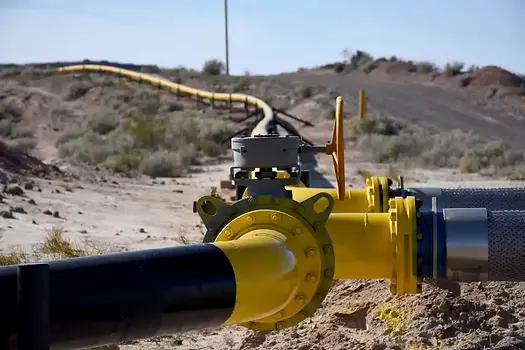
Pipelines often cover thousands of kilometers and are located in remote areas that are difficult to access and control. Utilities and government agencies use high-resolution satellite imagery to identify optimal locations of facilities and infrastructure.
Our products can be used for:
Identify access routes.
Plot new seismic surveys and well locations and identify old ones.
Select new proposed well locations
Determine the boundaries of private property
Calculate pump size and stations based on terrain elevations.
Map pipeline routes in hostile or highly developed terrain.


Renewable energy
High-resolution satellite imagery can monitor changes in terrain and infrastructure over time to manage what is happening on the ground. Using artificial intelligence (AI), machine learning (ML) and satellite imagery can detect and capture deforestation, agriculture, climate change, land use, conservation and environmental impact assessment for many industries working in renewable energy fields such as solar and wind energy. energy and hydroelectric power.
Artificial intelligence, machine learning and high-resolution satellite imagery can monitor and detect energy assets for consumption and production during the day and night. These technologies will support critical environmental decision-making around the world and can track large-scale solar and wind energy. Many organizations are partnering to ensure we achieve the goal of having access to renewable energy for all

Key applications for the energy sector


Improve change detection
Monitor infrastructure and sites to detect changes and analyze production.
Monitor construction, assess damage and identify changes that may affect operational safety.
Comply with regulations
Monitor environmental impact and restoration for compliance, insurance and risk analysis.
Monitor distribution and pipelines for risk assessments, field response and regulatory compliance.
Analyze environmental compliance considering land use/cover, proximity to structures and geological characteristics.
Prevent illegal activities
Detect intrusions and suspicious activities nearby for quick response.
Use visual evidence when necessary.